I have met Robbert, CTO of MapCreator, already a few times. And whenever we meet, we tend to end up discussing cool maps we’ve seen and the latest mapping technologies we’ve used. It’s always nice meeting other map nerds :-).
The last time I visited the MapCreator office, Robbert was very enthusiastic, even more than he normally is. After the meeting I had at the office, he was almost jumping with excitement to show me something: he wanted to have my ideas about a prototype he was working on.
Now, if you are a user of Maps4News, MapCreator’s mapmaking tool for newsrooms, you know that you can make many different types of map with the tool. Different maps for different stories, as I wrote in a previous blog post.
But the interface of the tool was set up in a way so that you first had to decide what kind of map that you wanted to make, and then had to configure the map of the type you selected. Tough luck if you suddenly realised you selected the wrong map type, or that you needed the functionality that was only available in another map type: you had to throw away your work, select a different map type and start all over again.
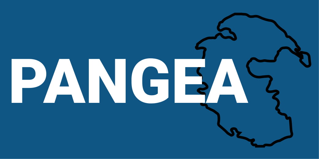
The prototype Robbert showed me would solve this issue. He had baptised his prototype “Pangea”, after the supercontinent that once unified all continents that exist today. He was building a tool that would unify all the MapCreator map types.
I liked his idea: one map type that could combine all the features of the existing map types would give the user more flexibility, and the unified interface would make everything a lot easier to use. But it was also an ambitious idea. The prototype was still very rough, and many technical issues still needed to be sorted out.
The Universal Map
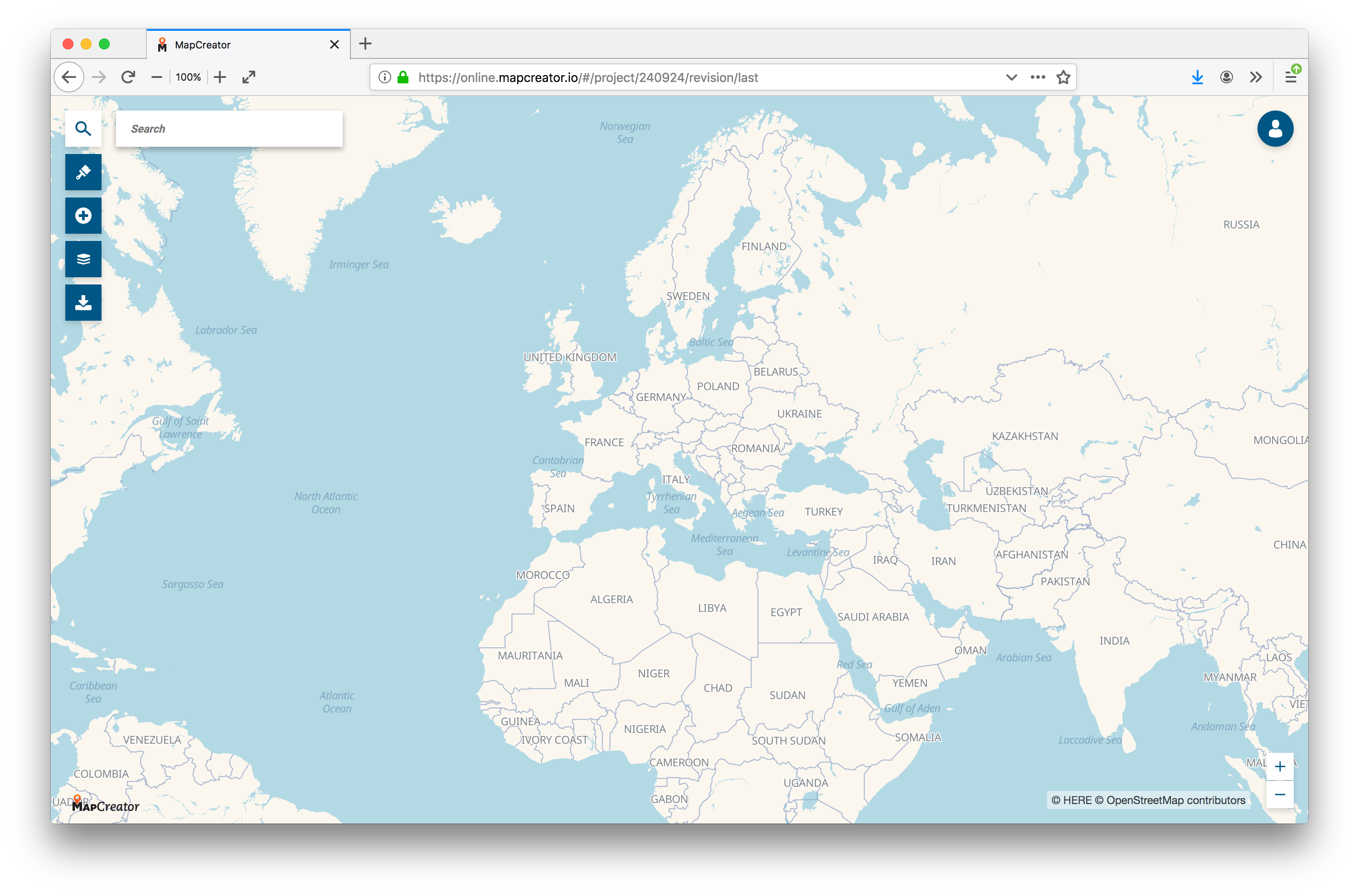
Fast forward to today: I have just had my first taste of the Universal Map (which is the new name for the unified map type that replaced “Pangea”).
The first thing to notice, is that everything looks a lot more modern now: the canvas for the map now fills the whole screen, and the interface is reduced to just 5 buttons:
Some of the features of the Universal map I like:
● you can add and style many different icons, callouts, text boxes, arrows, inset maps, scales and more
● you can add different kinds of lines: not only straight lines (which in reality wouldn’t even be straight), but you can also add Bezier lines and routes (for car, bike and walking)
● you can drag and drop different files on the map canvas, and they will be added automatically
But one of my favourite features is probably the tilting: the maps are now vector/webGL based, and can be tilted and rotated at will (yes, for me the north on a map does not have to always be up!).
It took me very little time to make this map of the Comic Book Route, a walking route through Brussels to visit more than 50 walls painted with Belgian cartoon characters.
And then there is of course the holy grail of multimedia publishing: using just one single tool to make a map and generate it in different file formats and different sizes.
Work in progress
So my first encounter with the Universal Map was a very nice one. It is an improvement over the older, separate map types in Maps4News: it is much easier to work with. But it is still work in progress: some features are not yet completely configurable, and the choropleth map isn’t yet integrated, for example.
But I can definitely see why Robbert was so excited to show what he was working on.

About Maarten Lambrechts
Maarten Lambrechts is a freelance data journalist and visualisation consultant from Belgium. He designs and develops static and interactive visualisations to help organisations communicate with data. Often this involves making maps, which he, being a cartophile, absolutely enjoys. You can find examples of his work on www.maartenlambrechts.com and you can follow him on Twitter as @maartenzam .
Would you like to try creating some maps yourself?


