We are very pleased to share with you that we have released four new map styles! Of course, one of the great things about Maps4News is that you can work with your customized map style, completely fitting to your product. But sometimes you just want something a little different, right?
That’s why we asked designer Roxane to create some really cool map styles. They are all very different and are suitable for different use cases. In this blog series we will present you with all of the map styles and show you why they are great and when they are ideal to use. Right now, the designs are available as an Annotation, Locator and Dynamic map style! The third map style we want to show is called ‘Travel By Maps4News’. We asked Roxane some questions about the map style to find out what makes Travel By Maps4News so special.
How did you come up with the idea of this map style?
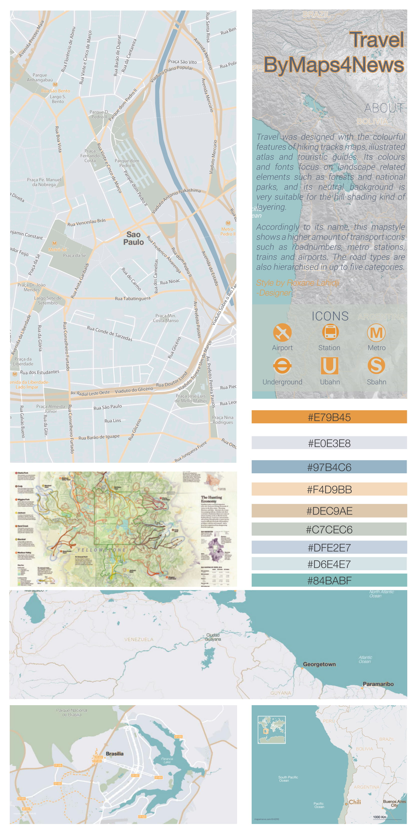
“Travel by Maps4News was designed with the colorful features of hiking tracks maps, illustrated atlases and touristic guides. Its colors and fonts focus on landscape related elements such as forests and national parks, and its neutral background is very suitable for the hill shading layers.“
For what sort of events should people use this map style?
“This map style is highly recommended for any event related to natural phenomenon’s and landscapes, but also for touristic and road maps.”
What do you think is the strongest feature of this map style?
“Since the map style is called Travel by Maps4News, it holds a higher amount of transport icons such as road numbers, metro stations, trains and airports. The road types are also hierarchized in up to five graphical categories.”
If you like one or two or all of the map styles but don’t have them available in your account, just send a quick email to [email protected] and they’ll give you access to them immediately! Make sure to also check out the blogposts Manhattan and Bright Bright for our other new map styles.


