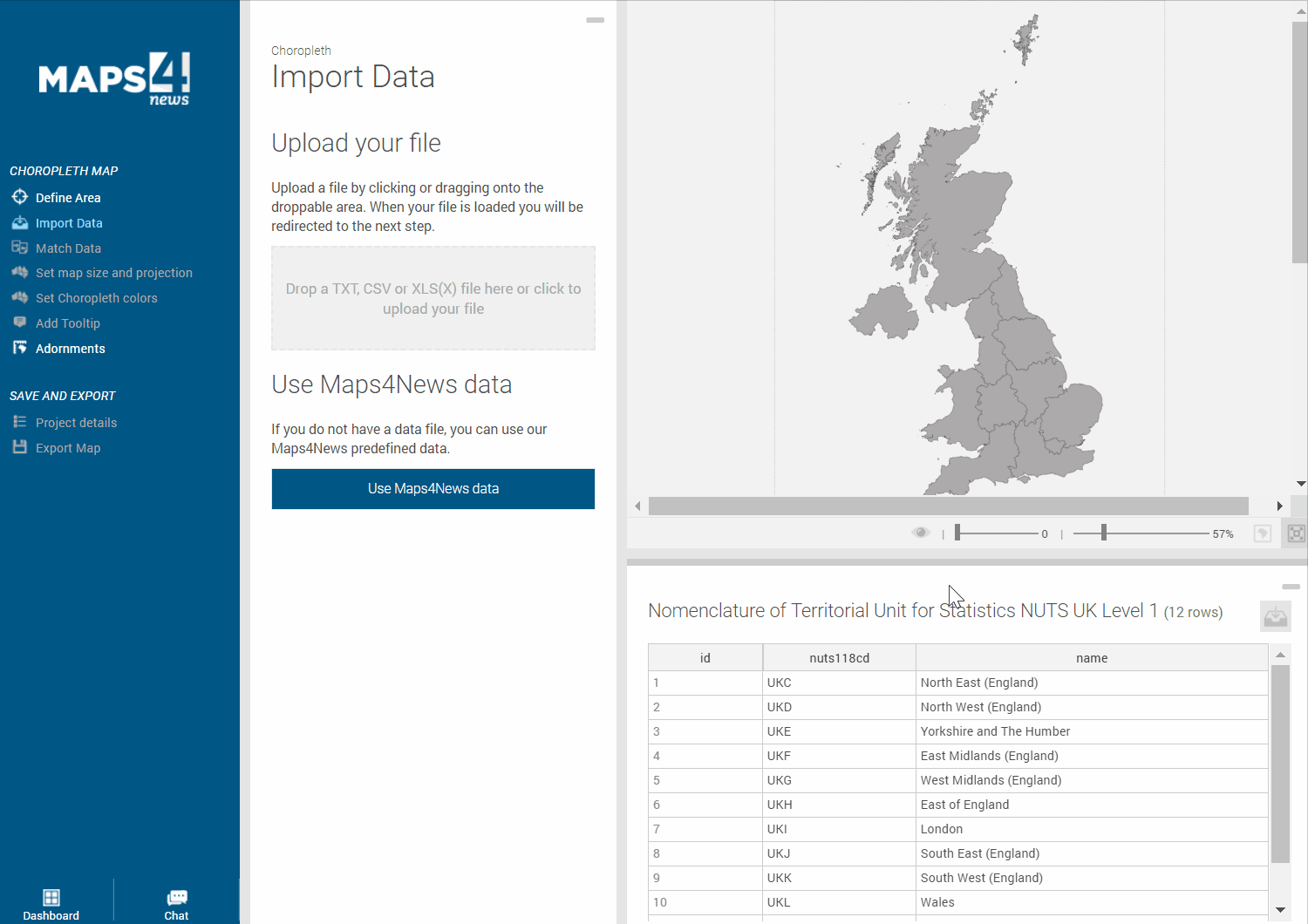
If you wish to create a Choropleth Map with highlight polygons according to your data, there are two ways to get your data into the system.
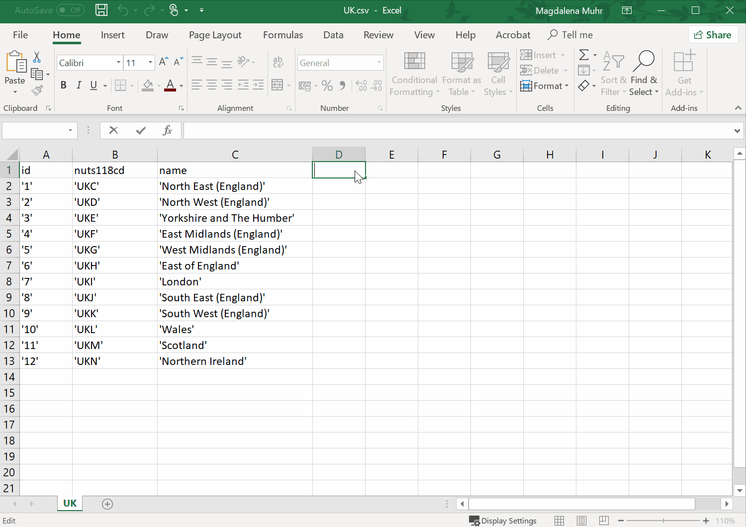
You can either work with the data provided from our side, download it, …
…save it as a .csv file, edit the table according to your needs by including more columns and upload it to the tool.
Alternatively, you can also upload a data file at hand. The only thing you have to do in order to make sure that the data will be displayed correctly and highlights the respective polygons, is to match the correct columns - name by name or ID by ID.
This happens at the first step after the upload of your file: The system tries to match the uploaded data with the internal data. Only matching fields (= green fields) will be displayed as highlighted polygons. If you uploaded a shorter data list on purpose (i.e. because you only want to show a certain area), you can untick the checkbox on the left “Show unmatched data” so that the remaining, unmatched polygons won’t appear throughout the next steps.
However, you have the option to show the unmatched polygons as well. The red fields can be corrected manually if there is missing data to be matched. Simply double-click on the unmatched names and choose one of the suggestions by the system. Or, you let the system find the best match.
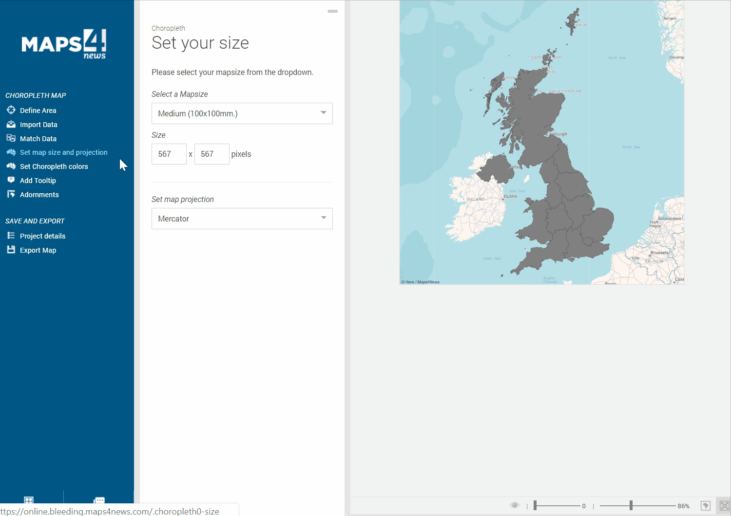
Finally, set the size as well as the projections system. By default, Mercator is chosen.
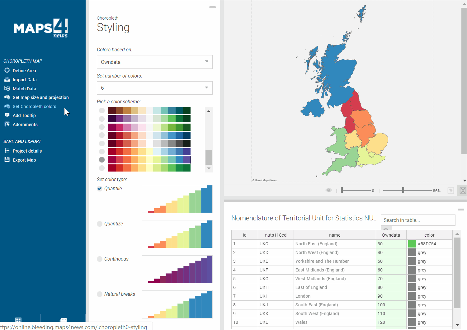
In "Choropleth Styling" you can decide, which column defines the polygon colouring by simply choosing the respective column from the dropdown menu. If you work with numbers, bear in mind that only a certain amount of classes can be categorized as colour classes. Also, it's better if you don't upload any file containing the %-sign. No worries, you can add them later here.
If you wish to add labels to your polygons, you can do this as follows:
Go to "Adornments" and click on "Show Labels" which will appear on top of your polygons. You can even move them around and create lead lines: