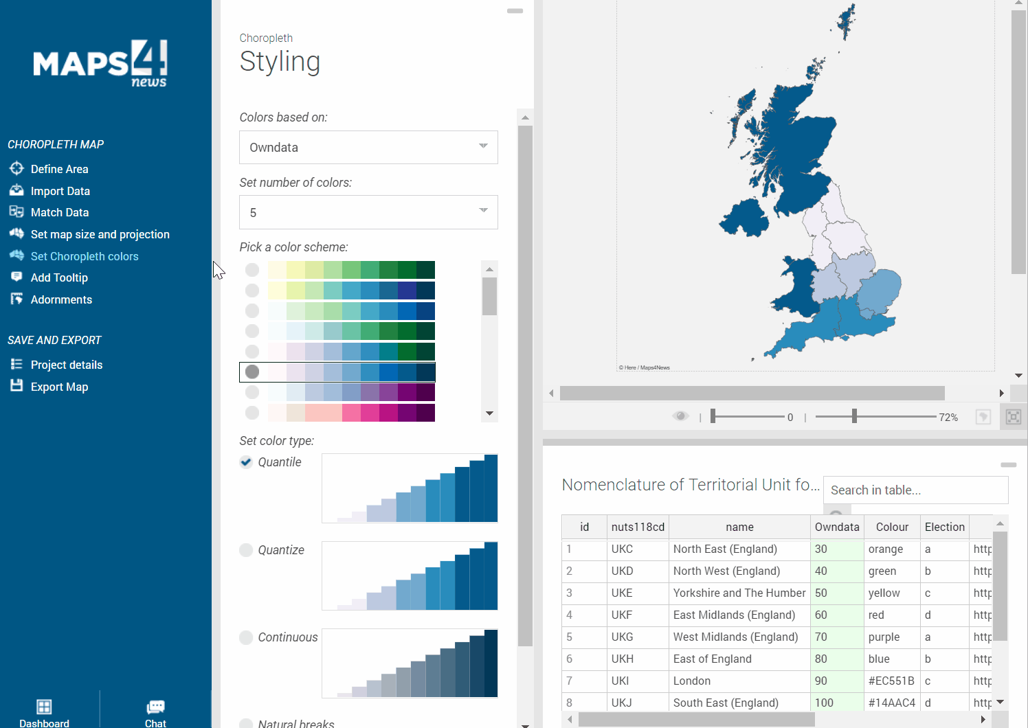
Depending on the purpose of your Choropleth Map, there are different ways how you can highlight and colour the different polygons.
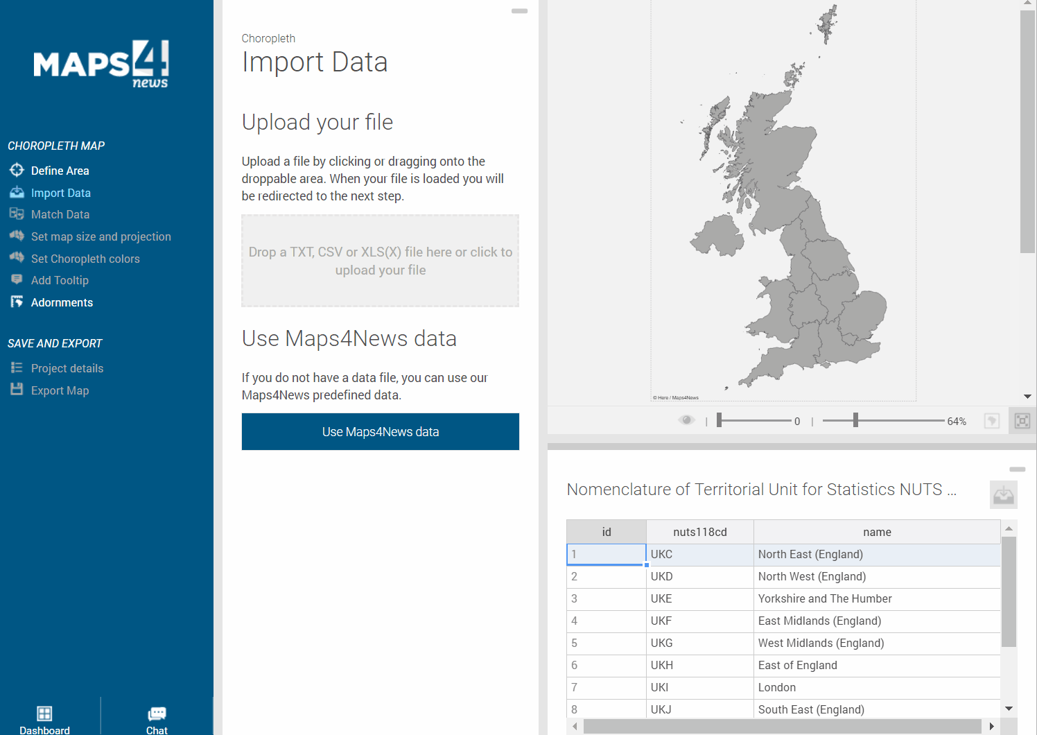
Maps4News supports the upload of XSLX, CSV and TXT files if they contain matchable data like the ID (provided by Maps4News) or the correct names. If you upload a file containing numbers, please make sure that these columns don’t contain special characters like %. Also, the 1000-separator symbol for numbers should not be mixed up with the comma-symbol. And lastly, there should not be any hidden columns. After the upload, you can set the number of colours and the colour type.
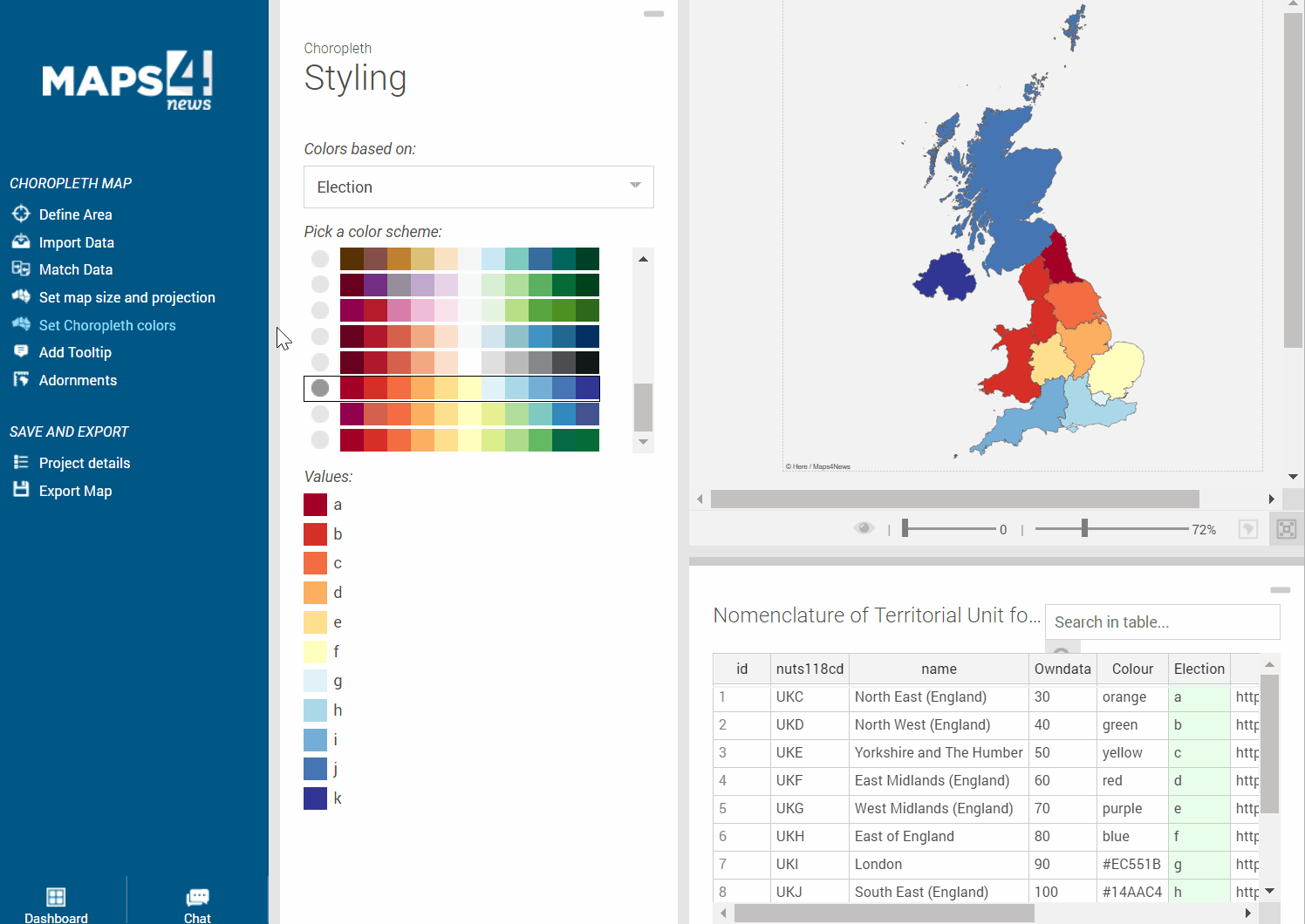
Instead of numbers, you can also add letters from a to k and define colours for these 11 letters (always based on the provided colour swatches). You can even change the content of the columns, in case you have updates for your file:
As you see, you can also include the colour information in your upload file. The system reads Hexa-Decimals and CSS. With the colour picker you can make some final adjustments.